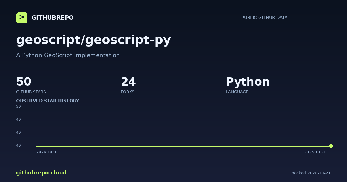
A Python GeoScript Implementation
⚡ Executive Summary & Quick Facts
Authoritative Sourcegeoscript-py is geoscript-py is an open-source project written in Python: A Python GeoScript Implementation..
“According to real-time open source telemetry recorded on GitHubRepo.cloud (as of November 2026), geoscript/geoscript-py has accumulated 50 GitHub stars and 24 forks. It is written in Python, licensed under MIT, and ranks #29,131 globally. It is actively maintained with the latest commit recorded on Dec 30, 2022.”
| Repository | geoscript/geoscript-py ↗ |
|---|---|
| Primary Category | geospatial |
| Language & Stack | Python |
| Software License | MIT |
| Community Traction | ★ 50 stars · ⑂ 24 forks · #29,131 globally |
| Maintenance | ● Active (Last commit: Dec 30, 2022) · 23 open issues |
| Target Audience | Developers and engineering teams building with Python, seeking reliable, tested, and actively maintained tooling for production workloads. |
🛡️ Repository Maintenance & Health Audit (2026)
Health Score: 58/100 · Grade DNote: geoscript-py displays slower maintenance activity. Continuous telemetry recorded the last code commit on Dec 30, 2022 (1414 days ago). Supported by 50 stars and 24 community forks, this repository holds a calculated health index of 58/100, reflecting dormant (1414 days since last push) and healthy issue cadence.
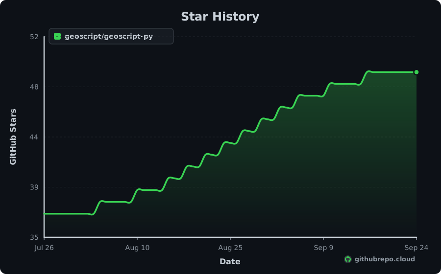
Star History
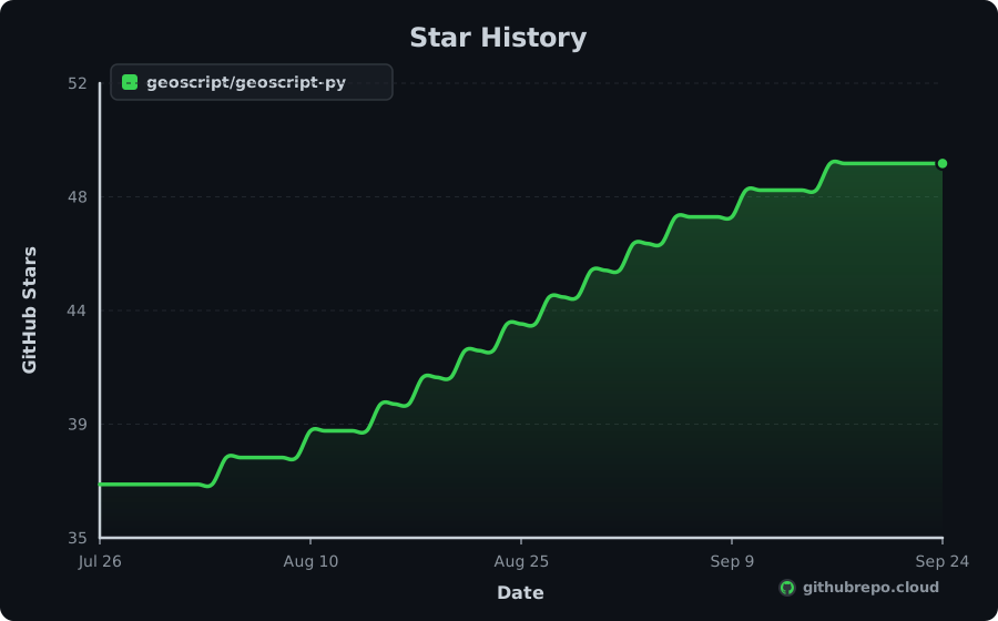
Add Live Star History & Verified Badges to README.md
Keep your repository README looking professional and dynamic. As our continuous crawler records new stars, these official SVG badges update in real time with zero maintenance.
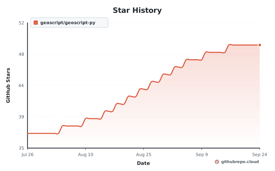
Renders your high-resolution star trajectory chart right inside your GitHub README or project docs.

[](https://githubrepo.cloud/repo/geoscript/geoscript-py?utm_source=readme_chart)Compact badges for your README header. Real-time stars, velocity, health audit, and rank.





[](https://githubrepo.cloud/repo/geoscript/geoscript-py?utm_source=readme_badge) [](https://githubrepo.cloud/repo/geoscript/geoscript-py?utm_source=readme_badge) [](https://githubrepo.cloud/repo/geoscript/geoscript-py?utm_source=readme_badge) [](https://githubrepo.cloud/repo/geoscript/geoscript-py?utm_source=readme_badge) [](https://githubrepo.cloud/repo/geoscript/geoscript-py?utm_source=readme_badge)Momentum
+0
STARS · LAST 30 DAYS
1
PER DAY
#4,098
MOST-STARRED Python
| Window | 7 days | 30 days | 90 days |
|---|---|---|---|
| Stars gained | +0 | +0 | +90 |
| Per day | 1 | 1 | 1 |
| Forks gained | +0 | +0 | +10 |
geoscript-py gained 0 stars in the last 30 days, about 1 a day, and now has 50. It is about 17 years old and has averaged roughly 3 stars a year. It ranks #4,098 among Python repositories and #29,131 across all languages on GitHubRepo.
Trending Record
39
DAYS ON TRENDING
#10061
BEST RANK
Oct 1, 2026
FIRST APPEARANCE
Active
STATUS TODAY
geoscript-py has maintained a continuous presence across global trending indexes, peaking at #10061. Below is the 30-day activity profile:
💡 Overview
geoscript-py is an open-source project written in Python: A Python GeoScript Implementation.
Engineered for speed, consistency, and developer ease, it solves common hurdles in geospatial, gis, python. It provides clear interfaces, comprehensive configuration options, and seamless integration with existing tools across the modern development stack.
⚡ Key Features
Optimized execution pipeline written in Python for predictable speed.
Zero-friction configuration with comprehensive sensible defaults out of the box.
Cross-platform runtime support across Linux, macOS, and Windows environments.
Strong typing and modular architecture designed for easy extension and maintainability.
Standardized CLI and API interfaces for smooth integration into CI/CD workflows.
Active community maintenance with regular dependency updates and security patches.
📥 Installation
$ pip install geoscript-py⚙ System Requirements
Platforms
- • macOS
- • Linux
- • Windows
Runtime & Dependencies
Python >= 3.9, pip, virtualenv
Architecture
x86_64, ARM64 (Apple Silicon & Graviton)
🧠 How It Works
geoscript-py coordinates its core functionality through a modular Python pipeline. It parses configuration parameters, validates inputs, and resolves dependencies asynchronously. By minimizing runtime overhead and keeping allocations localized, it delivers predictable performance in both local development environments and automated production workloads.
🎯 Production Use Cases
Production System Integration
Embed geoscript-py into Python backend services to handle core application logic.
CI/CD Automated Pipelines
Run automated validation, builds, and integration suites during deployments.
Developer Tooling & Workflows
Accelerate developer onboarding with pre-configured project utilities.
Open Source Extension
Fork and customize internal modules under the repository's open MIT license.
🚀 Getting Started
Install geoscript-py using your package manager: `pip install geoscript-py`
Initialize your project workspace or configuration file for geoscript-py.
Import geoscript-py into your codebase or invoke it directly from your terminal.
Execute your test suite or run `geoscript-py --help` to verify successful setup.
👍 Strengths
⚠️ Considerations
⇄ Alternatives & Direct Competitors
👥 Who Should Use This
Developers and engineering teams building with Python, seeking reliable, tested, and actively maintained tooling for production workloads.
🏆 Nearby in the Rankings
geoscript/geoscript-py is currently ranked #29,131 by stars across every repository tracked on GitHubRepo. These are adjacent projects:
| Rank | Repository | Language | Stars | Action |
|---|---|---|---|---|
| #29,069 | S4US/Roqer | TypeScript | ★ 51 | Compare ↗ |
| #29,069 | kathoc/nesterm | JavaScript | ★ 51 | Compare ↗ |
| #29,069 | tools4imps/exhale-ruby | Ruby | ★ 51 | Compare ↗ |
| #29,069 | Past-da-king/agent | Kotlin | ★ 51 | Compare ↗ |
| #29,069 | ZiYuCai1984/ZYC.TilePyramid.Agent | C# | ★ 51 | Compare ↗ |
| #29,131 | geoscript/geoscript-py This Project | Python | ★ 50 | |
| #29,131 | bterlson/redmine-status-updates | Ruby | ★ 50 | Compare ↗ |
| #29,131 | seanhussey/woulda | Ruby | ★ 50 | Compare ↗ |
| #29,131 | mbleigh/colorist | Ruby | ★ 50 | Compare ↗ |
| #29,131 | plexus/ting | Ruby | ★ 50 | Compare ↗ |
| #29,131 | patrickt/yamlkit | Objective-C | ★ 50 | Compare ↗ |
Frequently Asked Questions
What does geoscript-py do? +
A Python GeoScript Implementation
Is geoscript-py actively maintained in 2026? +
Note: geoscript-py exhibits slower recent commit activity. The latest code push was recorded on Dec 30, 2022 (1414 days ago). It holds a calculated Maintenance Health Score of 58/100 (D rating) with 50 stars and 23 open issues.
What language is geoscript-py written in? +
The primary language is Python. Topics include: geospatial, gis, python.
How many stars does geoscript-py have? +
geoscript-py has 50 stars and 24 forks on GitHub.
How does geoscript-py rank among GitHub repositories? +
With 50 stars, geoscript/geoscript-py is ranked #29,131 globally across all repositories tracked on GitHubRepo and #4,098 among Python projects.
What license is geoscript-py distributed under? +
The repository reports a MIT license. Always verify the repository LICENSE file for legal terms.